Ground Truth Labeling
Interactive ground truth labeling of multiple signals
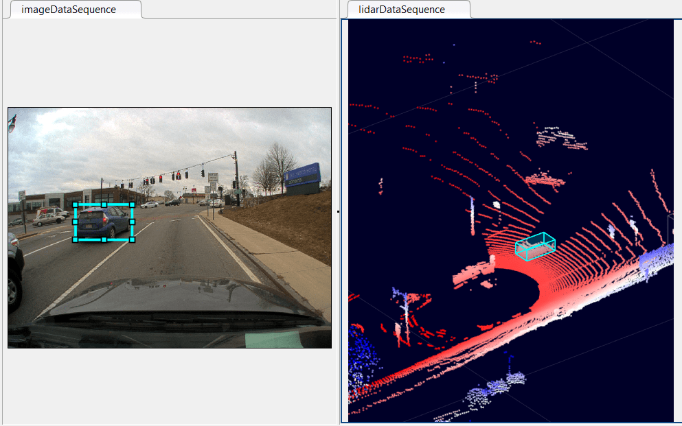
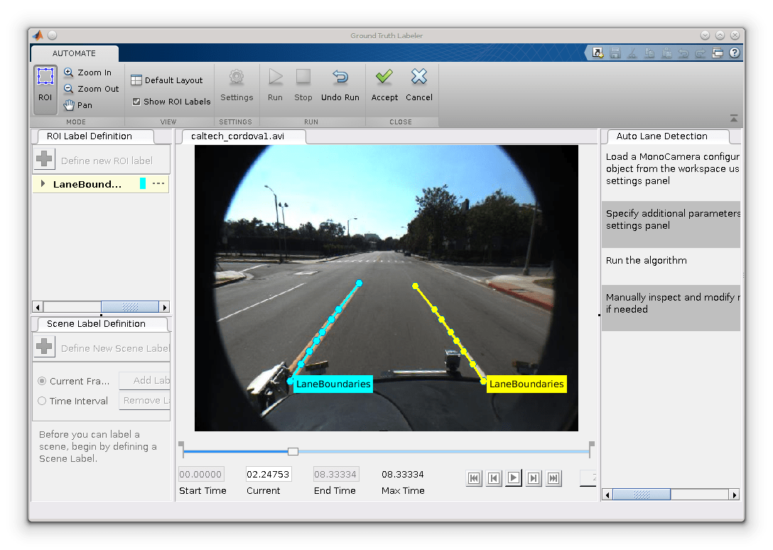
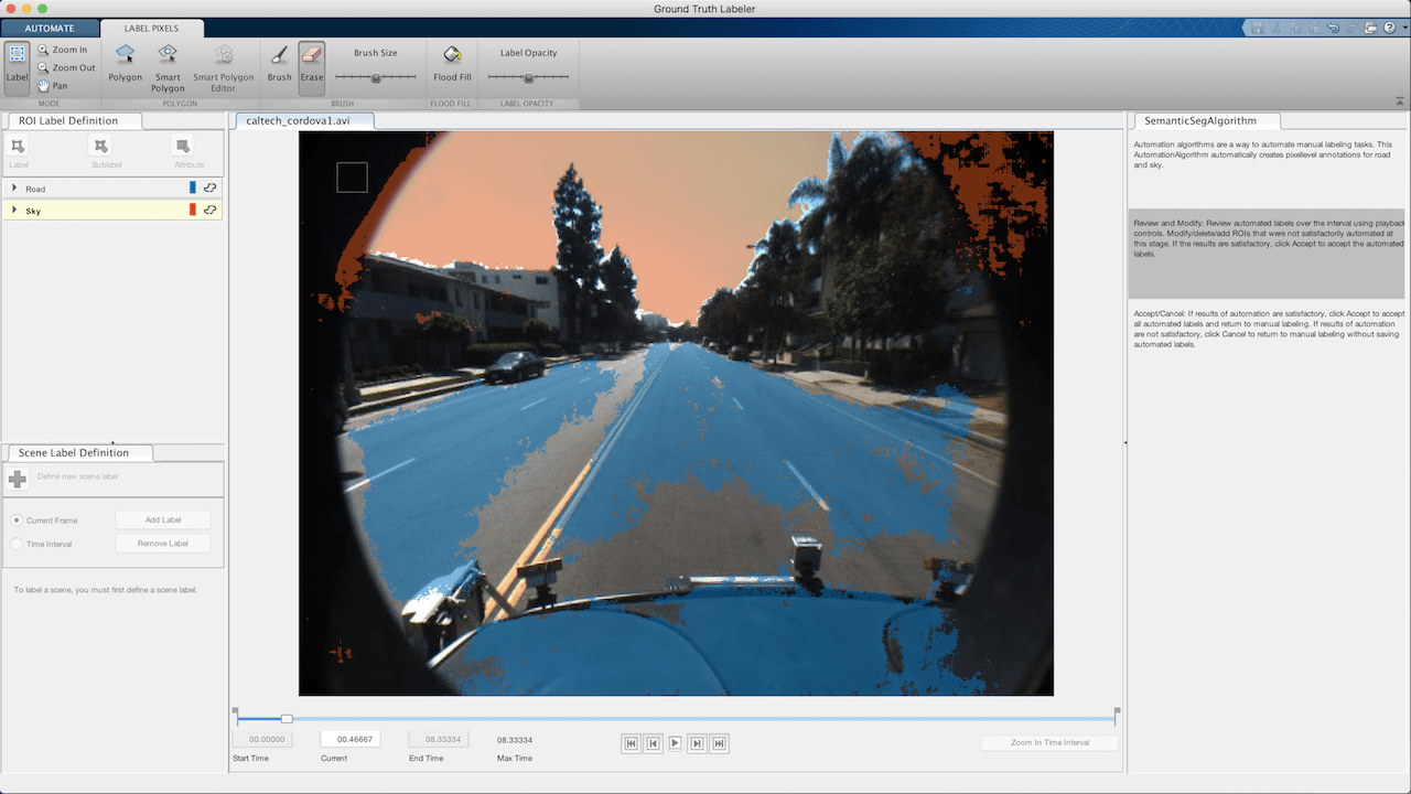
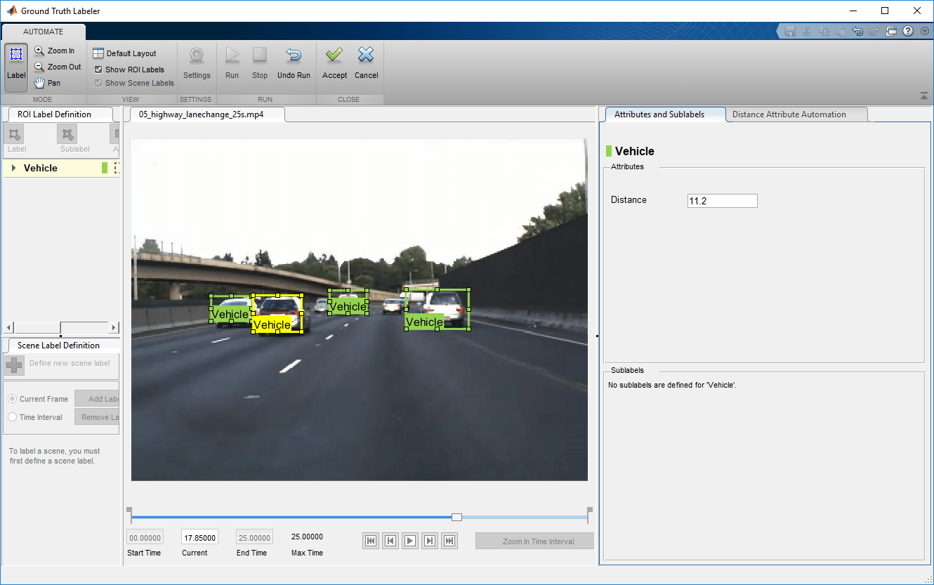
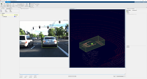
Use the Ground Truth Labeler app to label multiple signals representing the same scene. You can label videos, image sequences, and lidar signals such as point cloud sequences. Use labeled ground truth as training data for machine learning and deep learning models, such as object detectors or semantic segmentation networks. To automate the labeling of ground truth data, you can use a built-in automation algorithm or develop your own algorithm. The app also provides APIs for displaying additional time-synchronized signals and for loading custom data sources. To get started labeling a scene, see Get Started with Ground Truth Labelling.
Apps
| Ground Truth Labeler | Label ground truth data for automated driving applications |
Functions
Topics
Get Started
- Choose an App to Label Ground Truth Data
Decide which app to use to label ground truth data: Image Labeler, Video Labeler, Ground Truth Labeler, Lidar Labeler, Signal Labeler, or Medical Image Labeler. - Get Started with Ground Truth Labelling
Interactively label multiple lidar and video signals simultaneously.
- Keyboard Shortcuts and Mouse Actions for Ground Truth Labeler
Use keyboard shortcuts and mouse actions to increase productivity while using the Ground Truth Labeler app.
Load Ground Truth Data Sources
- Sources vs. Signals in Ground Truth Labeling
In the Ground Truth Labeler app, a data source is a file or folder containing one or more signals to load. - Create Class for Loading Custom Ground Truth Data Sources
Learn how to create a class for loading signals from custom data sources into the Ground Truth Labeler app. - Use Custom Image Source Reader for Labeling
Create a reader function to load a custom image data source into the Ground Truth Labeler or Video Labeler. - Control Playback of Signal Frames for Labeling
Control which signal frames display in the Ground Truth Labeler app during playback.
Label Ground Truth
- Label Pixels for Semantic Segmentation
Label pixels for training a semantic segmentation network by using a labeling app. - Label Lidar Point Clouds for Object Detection
Label lidar point clouds to use as training data for object detectors. - Use Sublabels and Attributes to Label Ground Truth Data
Learn how ROI sublabels and attributes work in labeling apps. - View Summary of Ground Truth Labels
View a summary of ROI and scene labels in a labeling app session.
Automate Labeling
- Create Automation Algorithm for Labeling
Create a custom automation algorithm to use in a labeling app. - Temporal Automation Algorithms
Create a time-based custom tracking algorithm to import into a labeling app.
Use Ground Truth Labels
- Share and Store Labeled Ground Truth Data
Share and store labeled ground truth data exported from labeling apps. - How Labeler Apps Store Exported Pixel Labels
Learn how the labeling apps store pixel label data.

