Image and Video Ground Truth Labeling
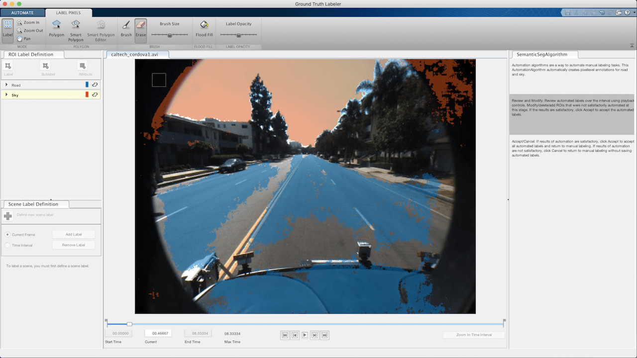
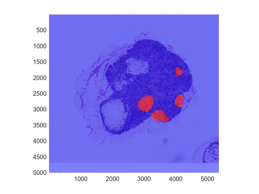
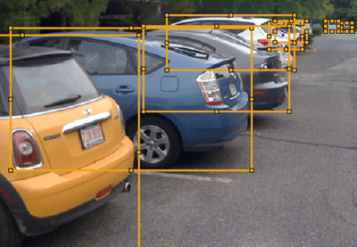
Use the Image Labeler and Video Labeler apps to interactively label ground truth data in a collection of images, a video, or a sequence of images. You can label rectangular regions of interest (ROIs) or polylines for object detection, pixels for semantic segmentation, polygons for instance segmentation, and scenes for image classification. The apps also include computer vision algorithms to automate the labeling of ground truth data for use with detection and tracking algorithms. They also provide an API and workflow that enables you to import your own algorithms to automate the labeling of ground truth data.
Image Labeler app also provides an interface for a collaborative multi-user team labeling workflow. You can distribute images for labeling between team members. You can also review the labeled images, provide feedback and track progress for all labeling and review tasks.

Categories
- Image and Video Labeling
Image and video labeling using the single user options
- Team-based Image Labeling
Collaborative image labeling workflow for distributed teams


